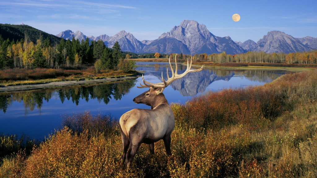
If you’re heading for Grand Teton National Park and you enjoy hiking, this US park in Wyoming has several different hiking trails from which to choose. If you’re unsure of which trails to take, here are some Grand Teton hikes you should not miss.
Contents
Grand Teton Hikes You Should Not Miss
1. The Delta Lake Hike
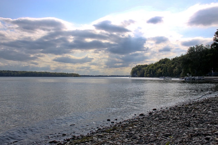
Delta Lake is a gorgeous glacial lake with stunning turquoise water. The hike is rated “hard” and has an elevation of 2,329 feet. The total distance out and back is 8.8 miles.
Only a part of the trail is maintained by the National Park Service, so it doesn’t appear on an official park map. You will also have to scramble over boulders. Despite the challenges though, it remains one of the best hikes here.
Get to the park early so you can park in the Lupine Meadows Trailhead parking lot. The hike begins on the popular Valley Trail. If you use electronics, you can download an app that will allow you to use GPS to help you navigate.
The Taggart Lake
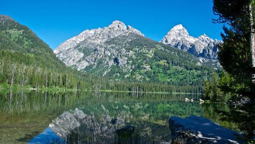
This easy 4.1-mile loop hike has an elevation of just 429 feet. You will enjoy wonderful views of the famous Teton Mountain Range as you hike by streams, open fields, and Aspen groves to this lovely lake. This loop trail is recommended over the out-and-back trail.
If you are a foliage aficionado, go in the fall. Whenever you do go, keep a lookout for black bears, elk, and moose too. The loop is less crowded once you reach the lake.
Hike the loop in a counterclockwise direction. There is less of a gain in elevation. The Taggart Lake trailhead is on Teton Park Road. Try to reach the lake early while the lake is still calm. The reflection is beautiful.
The Jenny Lake + Inspiration Point + Hidden Falls Loop
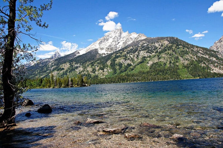
This is an easy 4.9-mile loop trail hike. It has an elevation of 590 feet. There are several ways to see this trio of tourist attractions. Still, why not see all three in one trip?
The park’s second largest glacial lake is Jenny Lake. It stretches across 1,100 acres. You can walk around it but the best place to see it in its entirety is from Inspiration Point, on the lake’s west side of the lake.
You will also be able to see Jackson Hole and the Gros Ventre Mountains too. Hidden Falls, near Cascade Canyon’s mouth, is fairly close as well. Here the water cascades down more than 100 feet.
If you feel really athletic, you can hike around Jenny Lake, rather than return via the loop. Do you need more of an adventure? Log on more miles by hiking the popular Cascade Canyon Trail too.
The Moose Ponds Loop
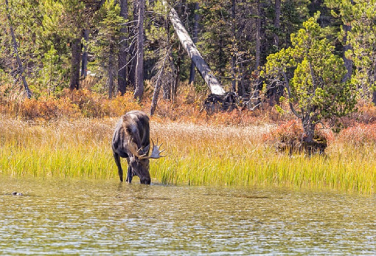
This short offshoot loop trail is rated easy. It has a distance of 3.1 miles and an elevation of 151 feet. As the name implies, here you will find a pair of ponds perfect for spotting moose.
Many veteran visitors have noted their success at seeing multiple moose on multiple occasions. This trail is close to other trails too. In fact, this hike begins at the Jenny Lake trailhead and even follows the south side of the popular lake.
The Cascade Canyon Trail
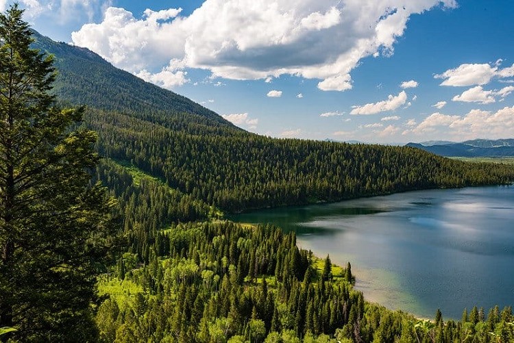
This out and back trail is 9.7 miles in length and has an elevation of 1,128 feet. It is a moderately difficult hike that takes you right through the canyon. Make a lot of noise as you go past the many berry patches in order to let the local black bears you’re coming.
Turn around at the famous Forks of Cascade Canyon. If you want more of a challenge, keep hiking past the Forks of Cascade ‘til you reach Solitude Lake. That will tack on another six miles round trip. The trailhead for this hike is in the South Jenny Lake Parking lot.
The Phelps Lake Loop
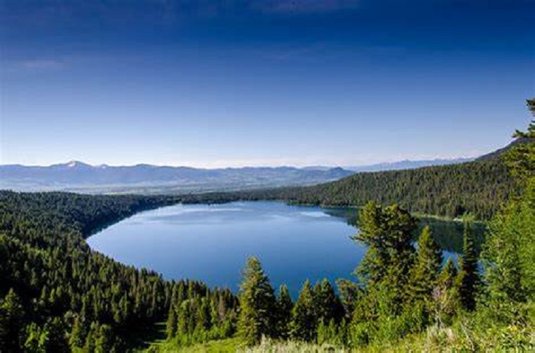
This seven-mile loop hike, a.k.a. The Lake Creek/Woodland Trail Loop is a popular, moderately difficult hike with an elevation of 725 feet. It leads to Phelps Lake’s south shore which comes complete with a huge rock perfect for using as a launchpad into the water. To the north across the lake, you might notice Albright Peak and Death Canyon.
To the left of the canyon, you can spot Prospectors Mountain Hike the loop counterclockwise. It certainly is the most scenic. The trailhead for the loop is adjacent to the Phelps Lake Loop in Grand Teton National Park and is located off Moose-Wilson Road adjacent to the Laurance S. Rockefeller Preserve’s Visitors Center.
The Storm King Summit Hike
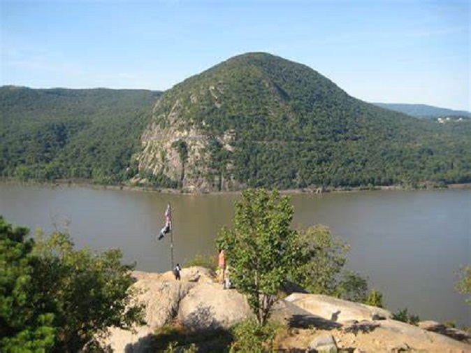
Head to the outskirts of Jackson Hole if you want to complete this hard hike. The trail has a length of 3.8 miles, out and back, with an elevation of 1,545 feet. At the top of Storm King, you will be able to enjoy panoramic views over the city.
This hike will have you on the popular Slow Trail which begins at the parking lot on busy Storm King Avenue. You will also be sharing space with not only other hikers but also with trail runners, joggers, and even dog walkers. Some suggest packing a nice picnic dinner and dining at the outdoor picnic table east of the ski lift. Cut 1.9 miles off your hike and ride the ski lift down to the starting point.
The Paintbrush Canyon Loop
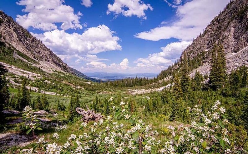
This hard, 20.4-mile loop rail is located near Moose. It is reportedly well-maintained and has an elevation of 5,721 feet. While it could be completed in one day, it might be better to break it up into two or more days.
This loop trail hike features such park highlights as Hidden Falls, Inspiration Point, Jenny Lake, Inspiration Point, Paintbrush Canyon, and Lake Solitude and its intimate remote beaches. You can hike in either direction. Assuming you are going to be breaking the hike into at least two days, which direction you hike in should rely on the location of your campsite.
The best direction to hike this trail is actually counterclockwise. Hiking in this direction allows you to get all of the required climbing out of the way on the first half of your trek. After you cross the Paintbrush Divide, the second half of your journey will be mainly downhill. The popular Paintbrush Canyon-Cascade Canyon Loop starts and finishes at the String Lake Trailhead. The parking lot here tends to fill up early so you should be sure to arrive well before 7:30 a.m.
The Death Canyon Shelf Loop
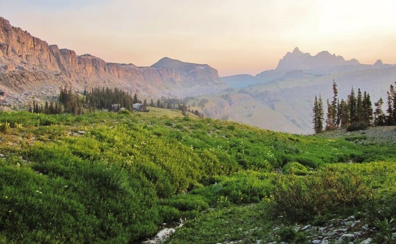
This is rated a “hard” hike. It is a 25.5-mile loop trail with an elevation of 6,020 feet. Nevertheless, it is considered by those who have gone before to be “a hidden gem.” It is not as popular as some previously mentioned trails due in part to the limit of backcountry passes available.
Those who garner a permit to camp here at Death Canyon Shelf either planned well in advance or were just downright lucky. If you are fortunate enough to spend a night or more there, veteran visitors suggest setting up your tent close to the cliff’s edge. The experience is unforgettable.
If you wish to enjoy the Tetons scenery in this lake-dotted beautiful basin, break the hike up into three days. The Death Canyon Trailhead is found off of Moose-Wilson Road.
The Marion Lake Trail
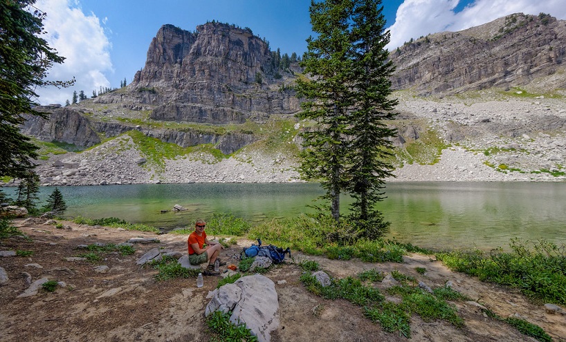
The popular Marion Lake Trail is a 13.4-mile loop trail. It is a hard hike with an elevation of 3,812 feet. Those in the know claim that this trail might honestly be your only choice if you only want a brief two-day/one-night backcountry trip. Most hikers don’t plan well enough and often discover most of the required permits for other hiking trails are already reserved by other outdoor explorers on a longer backcountry adventure.
The good news is this place is often full of blooming wildflowers and you will probably have a lot of privacy. Your journey truly starts atop massive Rendezvous Mountain, loops around majestic Marion Lake, then drops down into the valley via the rugged Granite Canyon Trail. Finally, Hikers return to Teton Village on the Valley Trail.
Mind you, in order to reach Rendezvous Mountain, you will need to complete a vertical climb of 4,139 feet to reach the hiking trail to Marion Lake. If you’d rather avoid the extra challenge, you can ride there on the popular Aerial Tram from the village. The ride is roughly 12 minutes, and the charge is comparatively minimal.
The Teton Crest Trail
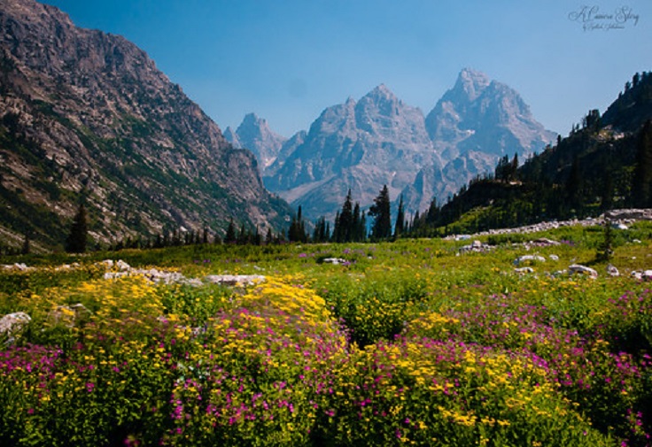
The Teton Crest Trail is yet another hard hiking trail here. With an elevation of 3,828 feet, this 25.7-mile trail point-to-point offers adventurers the opportunity to combine hiking this trail with others. Despite its level of difficulty, this multi-day hike is still moderately trafficked.
Perhaps what makes it popular are the striking panoramic views. It is also said to be a great place to see some pretty wildflowers in bloom. This trail will take you through the verdant Caribou-Targhee and Bridger Teton national forests, the popular Jedediah Smith Wilderness Area, and a portion of the national park.
As you circumnavigate a real glacier, you will also hike by a minimum of three different ecological zones. Give yourself between four to six days to complete it. Ah, but if you have the time and the energy, there are a number of different side trips you can take here as well.
You can visit Upper Cascade Canyon, Static Peak, and Hunt Mountain too. This would ramp up your mileage total to as high as 75 miles. Mind you, this can be quite an involved adventure and you will need to do your due diligence.
Your adventure begins with a gondola ride from the village to the start of this trail. You first follow the well-known Cirque Trail to the previously mentioned Rendezvous Trail. Eventually, you will complete the trek via the Teton Crest Trail.
The Things You Really Should Know About Backcountry Camping In Grand Teton National Park
Backcountry Permit
If you want to go backcountry camping in Grand Teton National Park, you will need to get a wilderness permit. Normally, permits for the summer season go on sale between the months of January and May. You can reserve a backcountry permit online. However, there are only so many permits available so be sure you plan ahead and know the specific dates.
If you wish to get a permit in person, that’s an option too. They are available on “a first-come, first-served basis.” During the months of July and August, the height of summer, permits are like gold, so get there early. While the visitors center does not open until 9:00 in the morning, people are sometimes lined up hours beforehand.
Permits are $35.00 and are good for up to five nights. They are available at these locations: the Colter Bay Visitor Center, the Craig Thomas Discovery and Visitor Center, and the Jenny Lake Ranger Station.
Bear Spray And Bear Bell
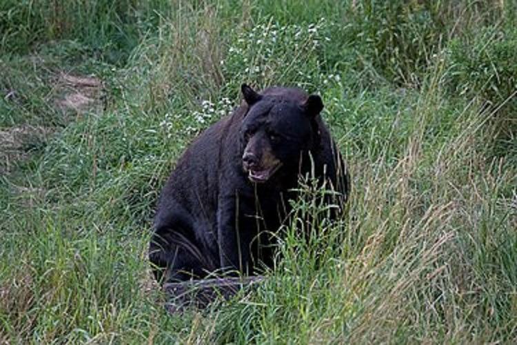
If you are going into the Grand Teton backcountry, you will need bear spray. Some hikers also carry a bear bell. These are especially good ideas if you are camping and/or hiking by yourself. (Mind you, you generally should hike with a buddy.) If you prefer not to take a bell, be sure you and your hiking partner speak loudly when you are not hiking in a well-traveled, busy area to discourage the bears.
Bear Canister
You need to carry a bear canister. You need to keep all your toiletries and food in a canister while you’re in the backcountry. If you don’t have one, you can actually “rent” one for free at the same office that issues you your permit.
There you have it, travelin’ trailblazers, the Grand Teton hikes you should not miss. Did we miss your favorite hike here? Let us know in the comment section below!
